How to correct the coordinates ?
$Longitude$* pi/180 + $Distance(km)$ * sin($Angle$)
$Latitude$ * pi/180 + $Distance(km)$ * cos($Angle$* pi/180 )
How to correct the coordinates ?
$Longitude$* pi/180 + $Distance(km)$ * sin($Angle$)
$Latitude$ * pi/180 + $Distance(km)$ * cos($Angle$* pi/180 )
Hi @shwetaoza
Without any further context, I can point you to python - Get lat/long given current point, distance and bearing - Stack Overflow.
If you need more help, please let us know what are you trying to do and with what nodes / extensions. Could you maybe also provide an example output (image) and expected output?
Kind regards
Marvin
Hi @shwetaoza , as @marvin.kickuth says, it’s really difficult trying to assist when little or no context is provided, and when the message is quite cryptic. You need to remember that the only knowledge we have of your problem is what you write here, so you’d get much faster responses if we didn’t find ourselves playing a game of “20 questions” ![]()
That said, is there any reason why in the first line, you aren’t converting the angle in the sin() function to radians, whereas in the other parts you are. Given I don’t know the question, maybe that’s the answer… ![]()
KNIME_projectKMLTry2.knwf (95.8 KB)
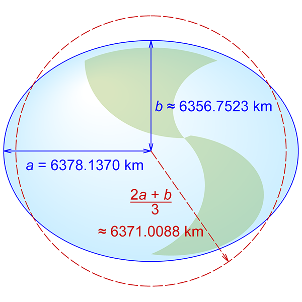
When I see geometries as map it is circle but when seen on google maps it looks ellipse.
I want to view it as circle I know that along the equator it works fine but what is the solution to get the spherical coordinates.
Is there any node that handles this?
ERROR Write Geometries to KML 4:831 Configure failed (IllegalArgumentException): the input table contains spatial data but no Coordinate Reference System
ERROR Create Point from 2D Coordinates 4:79 Execute failed: Can’t reproject grid coverage “GEOCCS[“JGD2000 (geocentric)”,
DATUM[“Japanese Geodetic Datum 2000”,
SPHEROID[“GRS 1980”, 6378137.0, 298.257222101, AUTHORITY[“EPSG”,“7019”]],
TOWGS84[0.0, 0.0, 0.0, 0.0, 0.0, 0.0, 0.0],
AUTHORITY[“EPSG”,“6612”]],
PRIMEM[“Greenwich”, 0.0, AUTHORITY[“EPSG”,“8901”]],
UNIT[“m”, 1.0],
AXIS[“Geocentric X”, GEOCENTRIC_X],
AXIS[“Geocentric Y”, GEOCENTRIC_Y],
AXIS[“Geocentric Z”, GEOCENTRIC_Z],
AUTHORITY[“EPSG”,“4354”]]”.
Also when I change my CRS above error occurs
https://sis.apache.org/tables/CoordinateReferenceSystems.html
Oh wow, I wouldn’t have suspected the earth not being a perfect sphere being the issue! Thanks for sharing the solution.
Another common cause for this ellipse problem is the projection used (google maps, leaflet, etc. usually use the Web Mercator projection), but I see you had already figured that out. Just stating this for anyone else coming here with a similar problem 
Kind regards
Marvin
This topic was automatically closed 182 days after the last reply. New replies are no longer allowed.