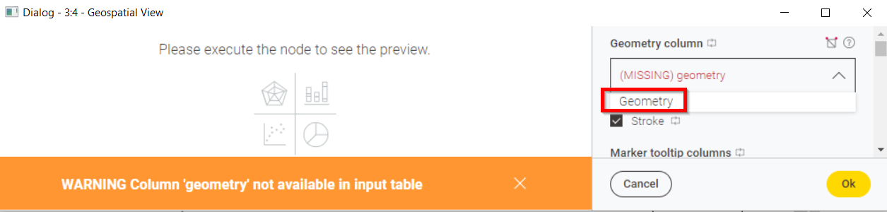
tried to work with the Create H3 Grid node. I think there are some issues:
the output column is called “Geometry”, which leads to an error in the Geospatial View node, because the “G” is captial. Whereas all other nodes use “geometry” as output columns.
Thank you for reaching out to the KNIME Forum and reporting unexpected behavior.
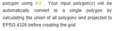
We took a look into this and do understand that this limits the usability and handling of the nodes. As of now, the node only supports a single object (polygon, multipolygon).
We opened ticket requests internally to address your points in a future release.
Hello @Awiener ,
thanks again for reporting the issue and providing the example. We have fixed it with the 1.3.1 bug fix release which we published today. For further details see this post.
Bye
Tobias
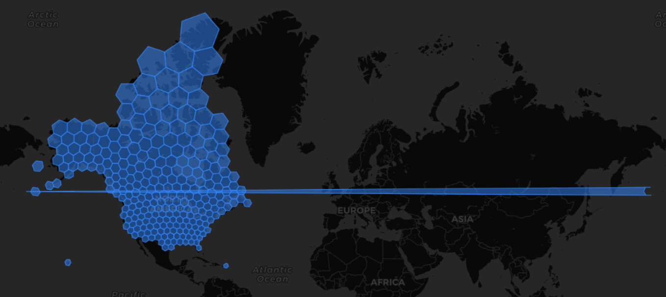
Just a really minor issue with the workflow from above. It looks like the western border of the view is a little bit out of control (zoom level 1 or 2)
Hello @Awiener ,
thanks for reporting the problem. I have created an issue for this. Unfortunately this is not easy to solve in a general way. So far we have come up with two solutions and I would like to know what you think about them:
Create a new node that resolves this edge problems in general since this problem can also happen elsewhere such as the Create Create Grid node, Buffer node or Multi Ring Buffer. The node would allow the user to choose from different solutions, split-up into MultiPolygon, split-up into multipler rows, shift points.
Handle the problem in the H3 Grid node by returning a multipolygon for the problematic h3 grid tiles.
We think that solution 1 would be the better option since it would allow the user to decide how to solve these special polygons depending on the subsequent task e.g. for visualization purpose shifting the points would be the best but for overlap detection the MultiPolygon would be better etc. However the user would need to know/recognize that the data table contains such a problematic Polygon.
Hello @Awiener ,
thanks for the feedback and the link to a possible solution. I guess you are right. We will see what we can do to correct the problem in the node itself.
Bye
Tobias