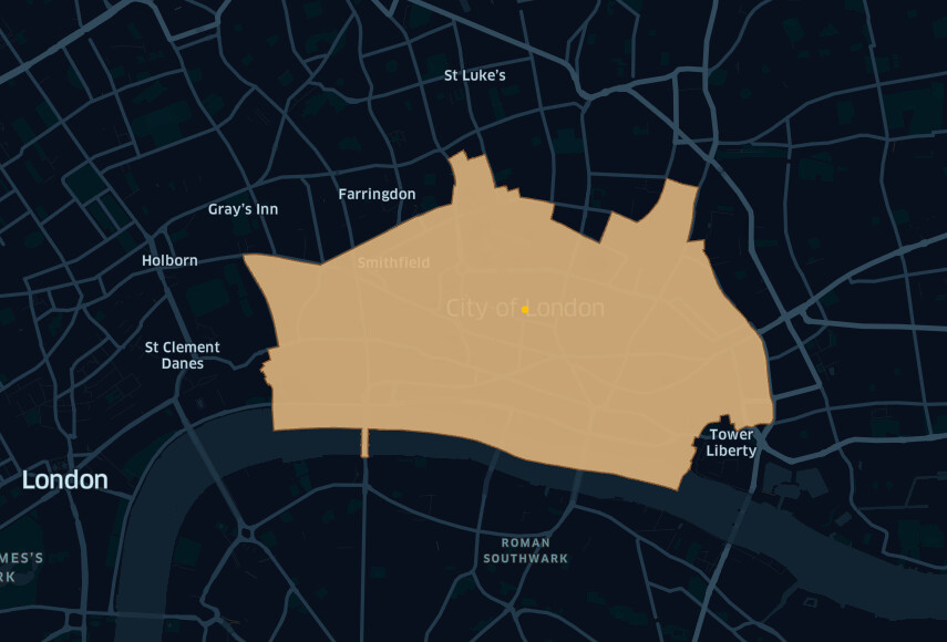
I load the polygon for the City of London as an example. I then convert projection to epsg:3857 for the units to be in meters and then use the Geospatial Area Node.
The result I get is strange at approximately 8km2. I understand that the City of London is around 2.9km2.
I’m not an expert in Geospatial Analytics but I just asked KNIME AI Assistant (K-AI) which CRS I can use to measure the area of a city in Europe and it answered EPSG:3035. When I used this CRS, I got the correct area for the city of London.
Here is my query: