Hi,
while working on the latest data challenge:
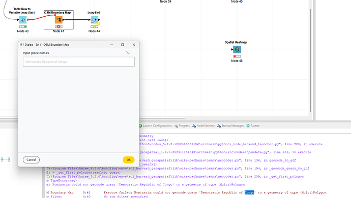
I used the OSM Boundary Map node:
The data set from the challenge isn’t quite accurate in terms of country names (i.e. Korea or Congo). I am optimizing the data with this data set:
ERROR OSM Boundary Map 5:41 Execute failed: Nominatim could not geocode query 'Democratic Republic of Congo' to a geometry of type (Multi)Polygon
Though the OSM Boundary Map node threw this error and it occurred to me that a more failure tolerance, by adding the option to not erroring out but return missing, might be worthwhile adding.
Best
Mike
