I wanted to ask if there is a way to do geospatial visualization ? I have explored the native nodes that came with Knime 4.0 installation and couldnt find any node that does geospatial and am not sure if there is any extension that would allow knime to do geospatial viz. Any help appreciated.
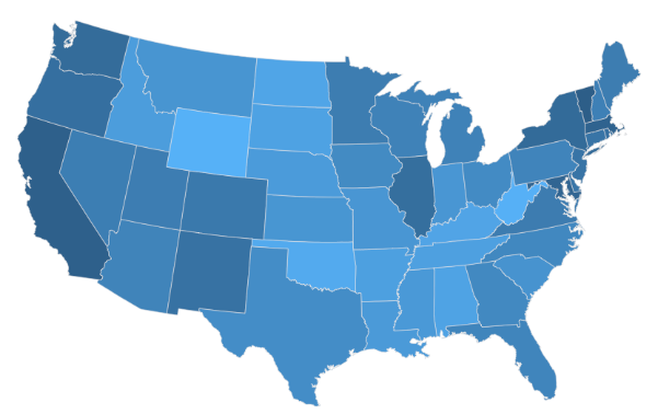
Thank you , I was able to come across a node called Geospatial operations which had nodes related to geometry. Now I am not sure how I can use those to be able to come up with a map based visualization. I am wanting to make a geospatial visualization like this.
This involves writing some Javascript code, though.
Having said that, we’re including new visualizations in KNIME all the time, so if you’d like to see this as a standalone node I could add a +1 from to you to our development team.
Thank you, I was looking to see if there is a node or a workflow of nodes that could get the visualization. Would be great to have a single node that could take either geo markers like country name or province name and create geo viz