Hi KNIMErs.
Many geo-coordinate threads on the forum revolve around distances. What I’m interested in is a lil bit different.
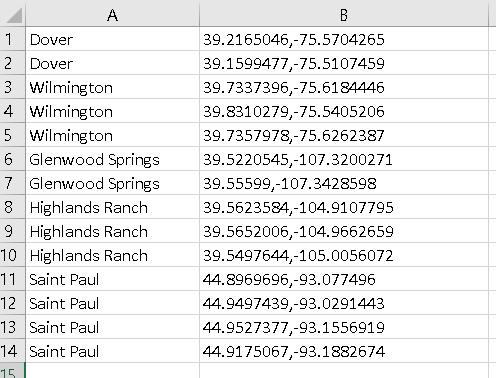
Attached herewith is a sample of my data sampledatageo.xlsx (8.3 KB) where you’ll see this simple table:

What I’d like to do is to find a representative lat+long values for each of the location, using the available reference points from Column B.
As you can see, the locations may have 3 different cases:
-
Where each location has two references: The representative point can be calculated by finding a midpoint, and I think I can do this with the Math Formula Node using (X1+X2)/2 , (Y1+Y2)/2 .
-
Where each location has three references: The representative point can be calculated by finding the triangular centroid, using (X1+X2+X3)/3 , (Y1+Y2+Y3)/3 .
-
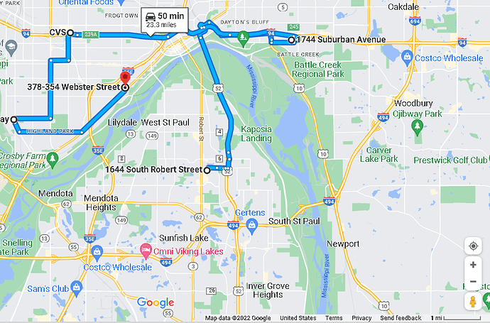
Where each location has four references: This is where it gets complicated.
I tried to use this node but along with many other nodes from the same Extension, they require the values to be in WKT formats. From a lil bit of Googling, it seems that this could be done with Python, but I need a non-python solution.
Is there a way to convert the geo-coordinates to WKT using a simple, non-coding method?
Or, is there a completely alternative workaround for what I’m looking for? Something like this complex calculation is available on the net, but I don’t know how to implement it in KNIME.
Thank you in advance!
