I am struggling to find a good workflow or tutorial that would link elements from rows with latitude and longitude on top of a geographical map.
For example, I have a table with lat+lon of London - New York - Tokyo. I would like to project the cities as nodes, and connect these 3 cities into a triangle (or connect each of the nodes with every other one).
     |     London lat      |      London lon      |       NY lat       |        NY lon       |     Tokyo lat     |       Tokyo lon
Row0 |   51.51830479339951 | -0.12838351032819217 | 40.644803122358255 | -73.78124748038013  | 35.68149908918224 | 139.76704524135576
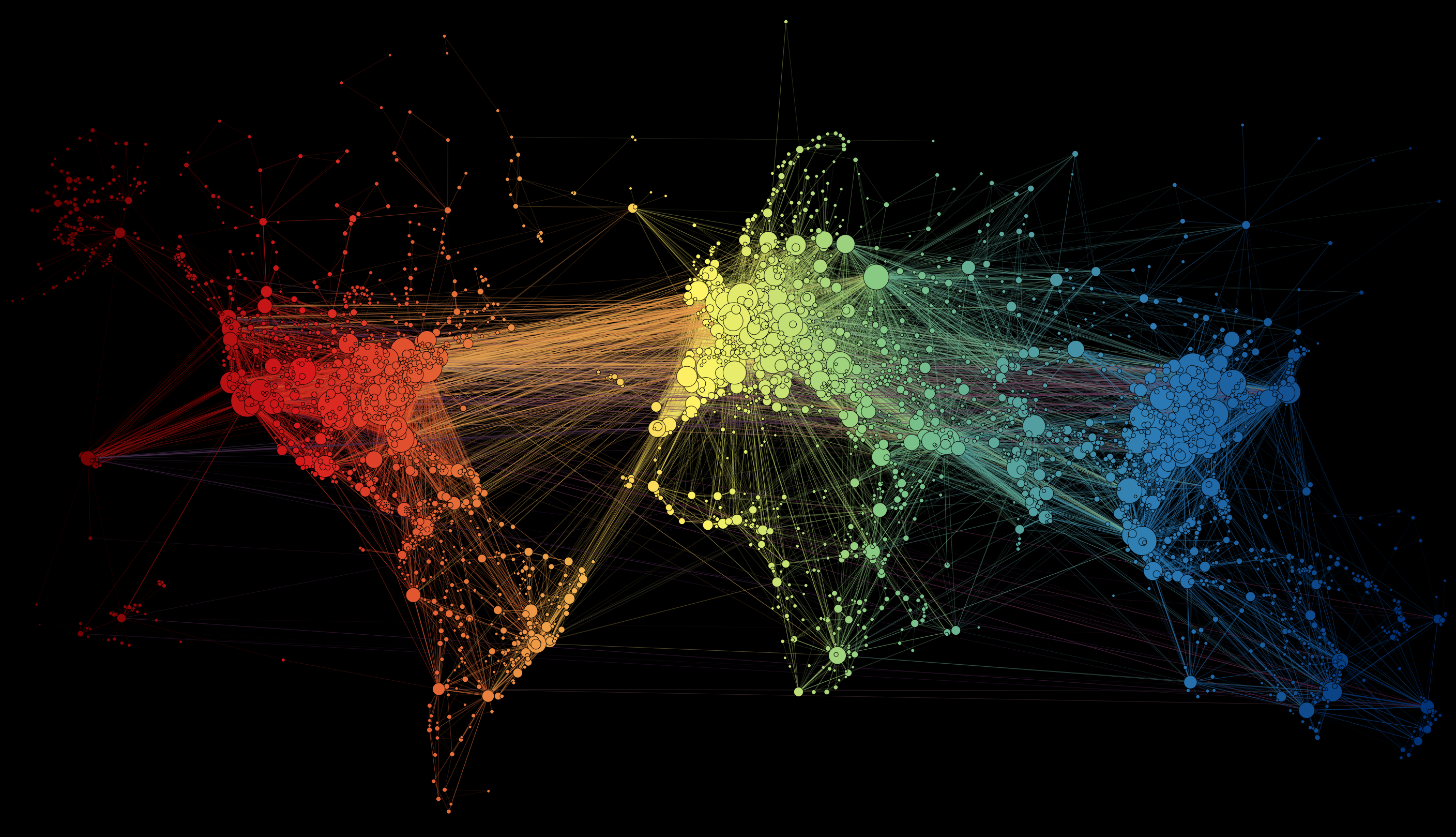
At the end, I would like to create a map like this: http://www.martingrandjean.ch/wp-content/uploads/2016/05/airports-map.png
Many thanks in advance!