Hi,
I am attempting to work with the Bing Isochrone API in KNIME using the Spatial Processing nodes.
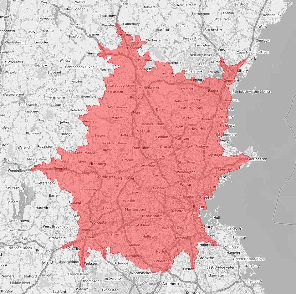
The API produces a polygon representing the maximum distance that can be traveled from an origin point in X minutes; the output is a list of ordered coordinate pairs.
Here are the points plotted in KNIME:
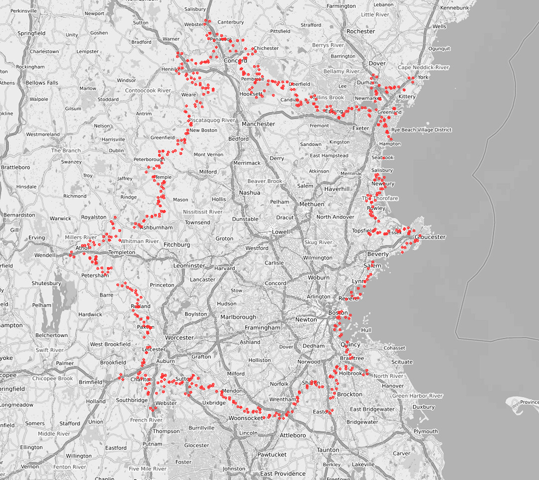
I converted the lat-long pairs into WKT points, then merged them into a single multipoint string which was manually altered to match the WKT polygon format. The WKT polygon column properties were extracted from a polygon created by merging several polygon buffers created in KNIME.
The issue is that the resulting polygon looks like this:
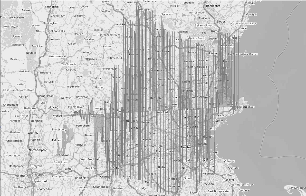
Any suggestions on how to create a polygon from a cluster of points in KNIME?
Link to workflow on the hub: